Find out more
Contact Barwon Coast at the following

14 September 2026
Barwon Coast is recruiting at least 15 Casual Cleaning Officers to join our caravan park and campground team for the busy 2026-27 peak season.
9 September 2026
The Barwon Heads Nature Festival is back from Monday 21 to Friday 25 September
27 August 2026
A new Hooded Plvoer nest has been discovered on 13th Beach
19 August 2026
Barwon Coast is inviting the community to help shape the designs of two playgrounds at Barwon Heads Caravan Park,
6 August 2026
The final Bancoora Coastal Adaptation Plan (CAP) is now available.
Published on 18 February 2026
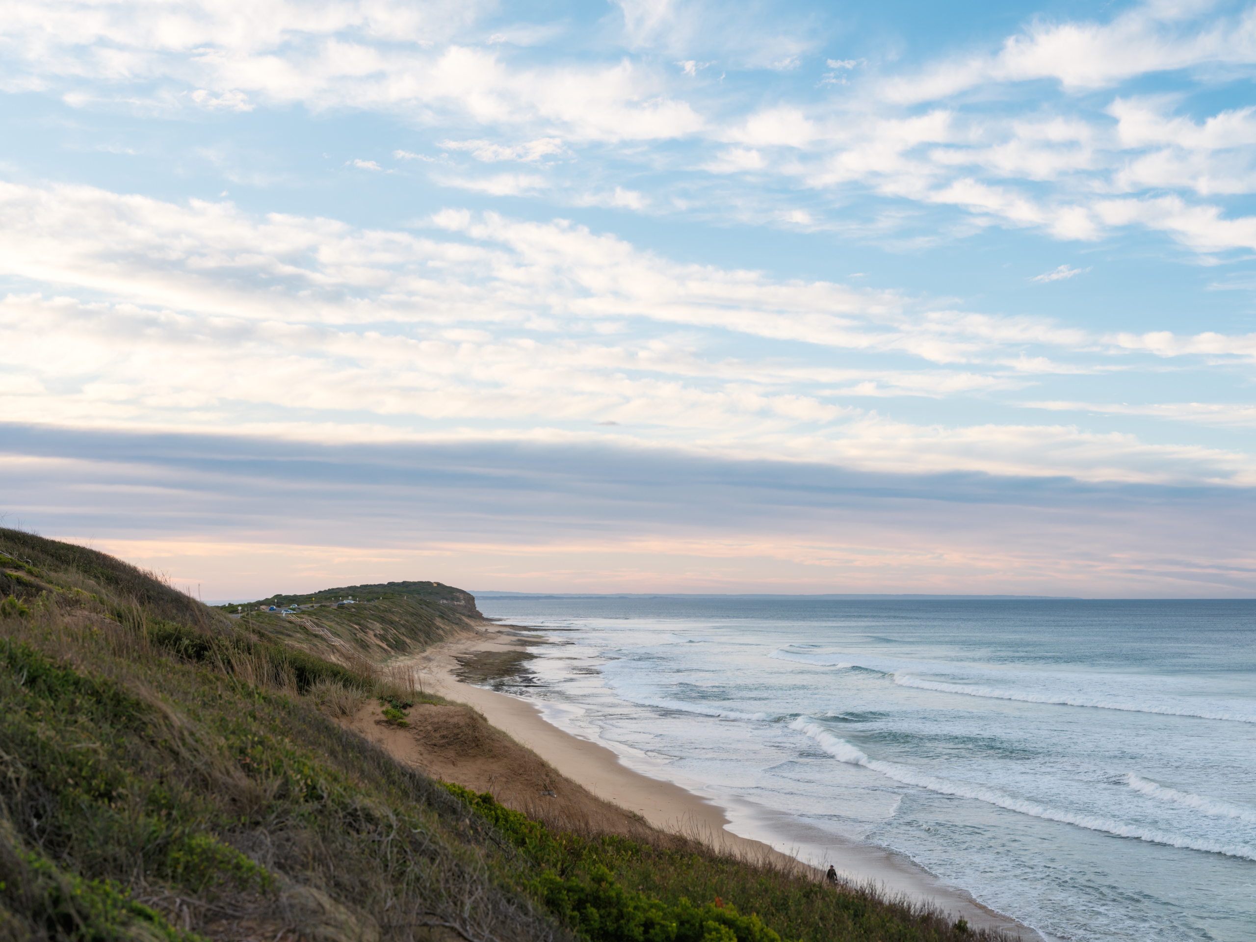
The coast is dynamic and always changing, shaped by natural coastal processes such as erosion and inundation, and at times, natural processes may impact on coastal values and uses. When this occurs, we refer to the processes as ‘coastal hazards’.
Coastal hazard exposure is expected to increase with changes in wave action, storm activity and sea level rise associated with climate change.
Barwon Coast is releasing the Coastal Hazards Exposure Report for the land it manages. The report uses the best available science and local knowledge to refine our understanding of coastal hazard risks, informing safer, more resilient future planning, particularly our Foreshore Master Plan.
The Foreshore Master Plan community engagement found Foreshore that ecological fragility, dune care, and habitat restoration are the strongest community priorities (see the Community Engagement Report here).
Coastal hazards are one of many natural hazards that can occur in areas we enjoy living in and visiting (e.g. bushfire, river flooding, air quality). Improved assessment and mapping of hazards enables us to create a plan to reduce the potential risks and adapt.
We have a responsibility to consider their risk exposure, and act in accordance with the Marine and Coastal Policy 2020.
We are taking a partnership approach to managing coastal hazard risk and proactively adapt, both now and in the long-term. Our approach is following the direction of the Marine and Coastal Policy 2020 and Victoria’s Resilient Coast – Adapting for 2100+ framework and guidelines.
This project increases our understanding of coastal hazard exposure for the coastline we manage, starting with helping shape the actions in the Foreshore Master Plan.
The coastal hazards being assessed in the Coastal Hazard Exposure Report are coastal erosion and coastal inundation on Barwon Coast-managed land.
This report, along with community input and other plans, audits, and strategies, will help inform and shape the actions and directions included in the Foreshore Master Plan, as well as the Coastal Marine Management Plan (CMMP) and other future planning undertaken by Barwon Coast.
We invite the community and visitors to view the Barwon Coast Foreshore Coastal Hazard Exposure report to understand potential future impacts of erosion and inundation along the foreshore.
Read the Coastal Hazard Exposure Report
On Thursday 5 March we held an Online Information Session about the Coastal Hazards Exposure Report.
The expert team who worked with Barwon Coast to create the Coastal Hazards Exposure Report, Water Technology, provided an overview of the report and address key frequently asked questions.
The Victorian Department of Energy, Environment and Climate Action (DEECA) has led the development of ‘Victoria’s Resilient Coast – Adapting for 2100+’ – a strategic approach for coastal hazard risk management and adaptation.
‘Victoria’s Resilient Coast – Adapting for 2100+’ provides a framework, guidelines, and support for Local Government, land managers and their communities to:
In building on the Policy directions, Victoria’s Resilient Coast provides a staged approach to the technical, strategic and engagement elements of risk management and adaptation.
This report is already shaping the actions in the draft Foreshore Master Plan, which will guide the protection, enhancement, and connection of key areas over a 15-year period.
The Foreshore Master Plan will be shared with the community for feedback in early 2026, and we encourage all community members to review the Foreshore Master Plan and share their thoughts. The final Master Plan is expected to be released mid-2026.
To stay up to date on opportunities to have your say on the Draft Foreshore Master Plan, please click the link below.
Keep me up to date with the Foreshore Master Plan
The Coastal Hazards Exposure Report uses the best available science and local knowledge to refine our understanding of coastal hazard risks, informing safer, more resilient future planning.
The majority of the Coastal hazard information included in the Report is currently publicly available at the regional, state and national scale to assist communities and land managers with proactive planning.
This includes inundation and sea level rise scenarios through the City of Greater Geelong’s ‘Our Coast’ study, Coastal Risk Australia, and Victorian assessments through CoastKit (marineandcoasts.vic.gov.au).
The technical assessments completed for this project will assist to refine our understanding of coastal hazard exposure for our local area and inform the Foreshore Master Plan.
No, this report only covers coastal foreshore areas managed by Barwon Coast, extending from Breamlea/Bancoora in the west, to the Collendina Bonnyvale Road beach access to the east.
We work with the following land managers and authorities – if the area you’d like to know more about is managed by another organisation, please contact them for further information:
This project helps manage the coast by providing a clear understanding of areas exposed to erosion and inundation, which informs long-term planning and decision-making. The Coastal Hazard Exposure report identifies risks to foreshore land and infrastructure, helping Barwon Coast and partners plan for adaptation, maintain key assets, and engage the community about future coastal management.
Natural coastal processes like wind, waves, tides and currents work to shift sediment and shape the coastline. When these processes negatively impact on use of the coast, they become coastal hazards. These impacts could be environmental, social, cultural or economic impacts. Coastal hazards include coastal erosion and inundation.
Coastal hazards for the coastal foreshore areas managed by Barwon Coast at Breamlea/Bancoora Beach (between Black Rock and Thompson Creek) presented in this study were developed as part of the Bancoora Coastal Adaptation Plan (‘BCAP’) project. The BCAP project covers Stages 1-5 of Victoria Resilient Coast: Adapting for 2100+ which is being delivered separately by Alluvium Consulting.
The results from Stage 3 Coastal Hazard Exposure of the BCAP project have been integrated into the mapping of this study to provide a consistent set of hazard layers across the management area.
The BCAP project then goes further and builds on this coastal hazard information to assess risk (Stage 4) and develop adaptation pathways (Stage 5).
Under the Marine and Coastal Policy 2020, Committees of Management are required to manage the coast to protect and enhance the coastal values for future generations. This includes considering appropriate coastal use and adaptation in response to coastal hazards. To successfully implement coastal planning, Barwon Coast requires mapping of existing and future coastal hazards as this information is vital for adaptation planning.
Water Technology was commissioned to provide Barwon Coast with existing and future coastal hazard mapping from Breamlea to Collendina to help inform Barwon Coast’s long-term strategic goals.
🌈🦜 Our noisy, colourful, busy neighbours!
You’ll often hear Rainbow Lorikeets before you see them – screeching and chattering as they race overhead .
With their bright red beaks, blue heads, green wings and backs, and orange-yellow breasts, they’re certainly not shy about standing out.
Rainbow Lorikeets are right at home in our coastal and urban landscapes, particularly wherever there are plenty of trees. They spend much of their time among flowering shrubs and trees, feeding on nectar and pollen, as well as fruit, seeds and the occasional insect.
And when the day is done? You might spot – or more likely hear – groups gathering together to roost at dusk.
Noisy, colourful and always busy – we reckon they bring plenty of personality to our coast. 💚
Learn more from BirdLife Australia: https://birdlife.org.au/bird-profiles/rainbow-lorikeet/

🌿 The Barwon Heads Nature Festival is almost here!
From 21–25 September, Friends of the Bluff are bringing together an amazing program of events celebrating the wonderful natural environment of Barwon Heads. There’s lots to explore, including some fantastic events happening across our coastal foreshore reserves:
🥾 Monday 21 September – Explore Barwon Bluff, plus two Canoe the Mangroves sessions
🌱 Tuesday 22 September – Walk on Country @ Barwon Bluff with @Wadawurrung
🌊 Wednesday 23 September – Orchids in the Park, then Land, Sea, Sky slide night
🔬 Thursday 24 September – Tide & Seek: a family ‘marine science’ day
🧤 Friday 25 September – Barwon Heads Great Spring Clean Up, followed by the Turning the Tide short film festival that evening.
There’s plenty more happening throughout the festival too!
Explore the full program and find out how to get involved: https://www.barwonbluff.com.au/nature-festival/
Congratulations to Friends of the Bluff and everyone involved in putting together another fantastic celebration of our coast. 💚
🐌 Go searching for sea slugs at Barwon Bluff!🌊
Did you know Victoria is home to more than 400 species of colourful sea slugs?
Join Parks Victoria (@parksvic ) for a Sea Slug Census in the intertidal rockpools of the Barwon Bluff Marine Sanctuary and see what you can discover.
📅 Thursday 17 September
⏰ 9.30–11.30am
📍 Barwon Bluff Marine Sanctuary
Learn more about these fascinating marine creatures while helping contribute valuable observations to the Victorian Marine Parks Association database and iNaturalist.
Registrations are essential.
Find out more and register via www.parkconnect.vic.gov.au/volunteer-activities (search for `sea slug`)
A cuppa, a chat and an important question – R U OK? 💛
Today our team came together for an R U OK?Day morning tea and heard from our Employee Assistance Program provider about the confidential health and wellbeing support available to our staff and their families.
It was a great reminder to make time for genuine conversations – today and every day.
Ask R U OK? Any day. 💛
#RUOKDay #RUOK #WorkplaceWellbeing
🥚 Hoodie nest update!
We’re pleased to share that there are currently two active Hooded Plover nests – at Blue Rocks and near Signpost at 13th Beach – each with three eggs. 🤞
Hoodies nest directly on the sand, and their tiny, camouflaged eggs can be almost impossible to spot. They’re also easily disturbed, so please give them plenty of space.
🩵 Keep close to the waterline
🩵 Keep dogs on lead near nesting areas
🩵 Stay outside fenced or roped-off areas
Six little eggs – fingers crossed we`ll see some little chicks! 🐣
#HoodedPlovers #BarwonCoastHoodieWatch
💙 Happy Father’s Day!
Wishing a very happy Father’s Day to all the wonderful fathers and father figures in our community!
If you’re looking for something fun to do with Dad today and haven’t, ahem, made a solid plan yet… why not swing by the Barwon Coast Discovery Centre in Barwon Heads? 🐚
Housed in the historic Lobster Pot, there’s plenty to explore – from local marine life and wildlife to geology, shipwrecks and local history.
🦀 Open today, 1–4pm
📍 Jetty Road, Barwon Heads
🌊 Free entry – all ages welcome
Perfect for a little Father’s Day wander by the coast.
More information: https://barwoncoast.com.au/about-the-coast/barwon-coast-discovery-centre/
Species spotlight: Sooty Oystercatchers 🖤❤️
Have you spotted a Sooty Oystercatcher along our coast?
With their striking all-black plumage, long red bill and bright red eyes, these distinctive shorebirds are amazing to spot along our coast – although their dark colour can make them tricky to see against the basalt of our coastal reefs.
📸 A big thank you to Rod Morrison for these fantastic photos!
Got a great photo of local wildlife? We’d love to see it – share it with us in the comments or send it our way.
And if you’d like to learn more about the birds you might spot around Barwon Bluff, our friends at Friends of the Bluff Barwon Heads have put together some great information.
👉 Check out their Sky – Birds page: https://www.barwonbluff.com.au/sky-birds/
A quick reminder about bird flu: If you come across sick or dead birds along the coast, please don’t touch or handle them. Keep your distance, keep dogs away and report sightings to the relevant authorities. Reports of sick and dead birds are important in helping authorities monitor for avian influenza. More info: agriculture.vic.gov.au/birdflu
🌊 The Barwon Coast Discovery Centre is back from this Sunday! 🐚
After a winter break, the doors of will be open this Sunday, and there’s plenty to discover inside.
Drop in and explore the stories of our coast – from local marine life, plants and wildlife to geology, shipwrecks and local history. You can also have a chat with one of the wonderful Friends of The Lobster Pot volunteers, who always have plenty of knowledge to share.
🦀 Open Sundays, 1–4pm
📍 Jetty Road, Barwon Heads
🌊 Free entry – all ages welcome
Come in, have a look around and discover something new about the coast .
More information: https://barwoncoast.com.au/about-the-coast/barwon-coast-discovery-centre/
#BarwonCoast #BarwonHeads #DiscoveryCentre
🌸 Hello, spring! 🐝
As we welcome a new season, we’re feeling pretty lucky to experience this special stretch of coast in all its seasons.
There’s a lot to love about a coastal winter – wild seas, moody skies, quiet beaches and those crisp, clear days. But we’re also happy to see the first signs of spring appearing across the coastal foreshore.
Coastal plants are starting to flower, warmer days are sneaking in (along with some pretty hectic rain!) and Hooded Plover breeding season is underway once again. Please keep your fingers crossed for a successful season for these vulnerable little birds. 🤞🐦
Here’s to spring on the coast – new life, changing landscapes and plenty more wild weather along the way. 🌿🌊
We have Hooded Plover nest lift-off! 🥚
We have discovered this little nest on 13th Beach (Black Rock end) and are hoping to see a little family here in around four weeks` time. Our keen-eyed staff have also noticed scrapes (Hoodies usually lay their eggs in shallow scrapes in the sand) at Stingray Bay, Breamlea, and near @13thbeachslsc - exciting!
When enjoying the coast, beachgoers are asked to help protect this nest by:
🩵 Walking close to the waterline
🩵 Keeping well clear of fenced or roped-off areas
🩵 Keeping dogs on-lead and away from sensitive dune areas
🩵 Giving the birds plenty of space so they do not abandon their eggs
Every small action helps give Hooded Plovers the best chance to hatch and thrive. Thank you for taking care on our beaches.

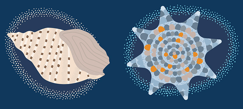
This is Wadawurrung Country. We acknowledge the Wadawurrung People as the Traditional Owners of the land, waters, seas and skies of Ocean Grove, Barwon Heads, 13th Beach, Black Rock and Breamlea. We honour and say Nyatne to Elders past, present and future whose ancestors, for thousands of years, have cared for this part of Dja (Country). We are committed as an organisation to meaningfully work together with Traditional Owners to make Wadawurrung Culture and Country strong.
© 2026 Barwon Coast. Website by Residency Studios.